


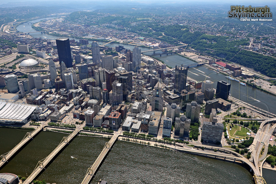
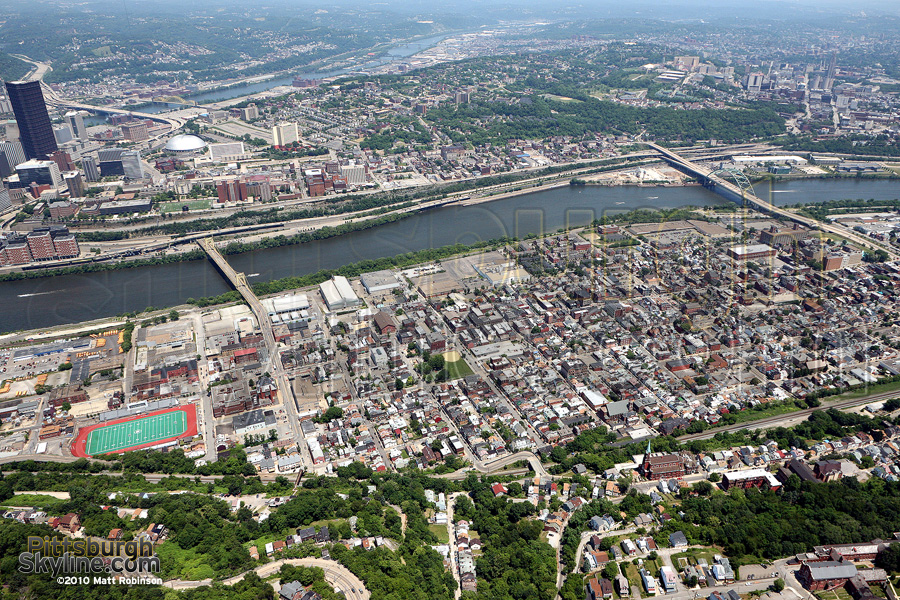
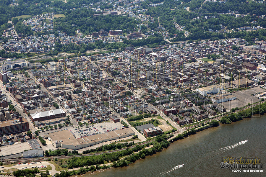
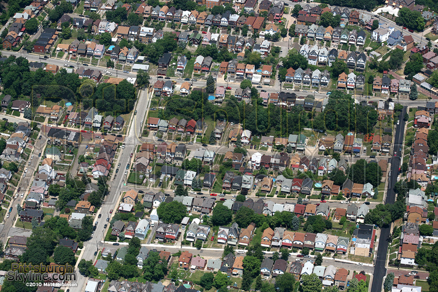
Flying over Pittsburgh and the Allegheny River
Buy a print or Download file (license)
Link to this photograph.

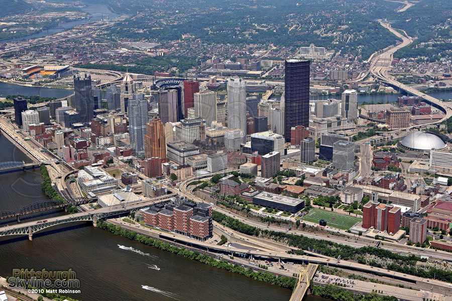


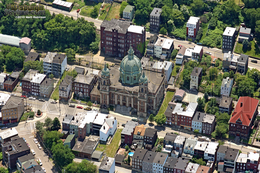
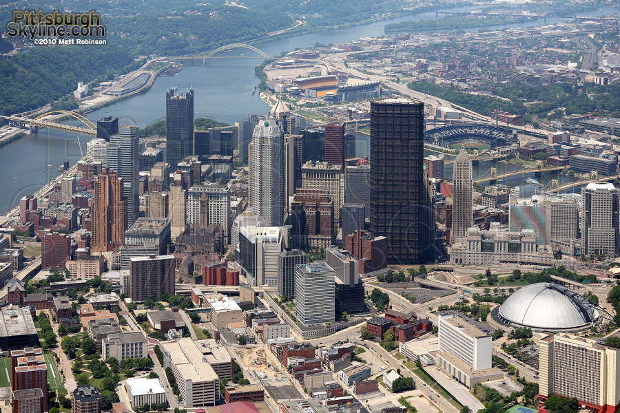


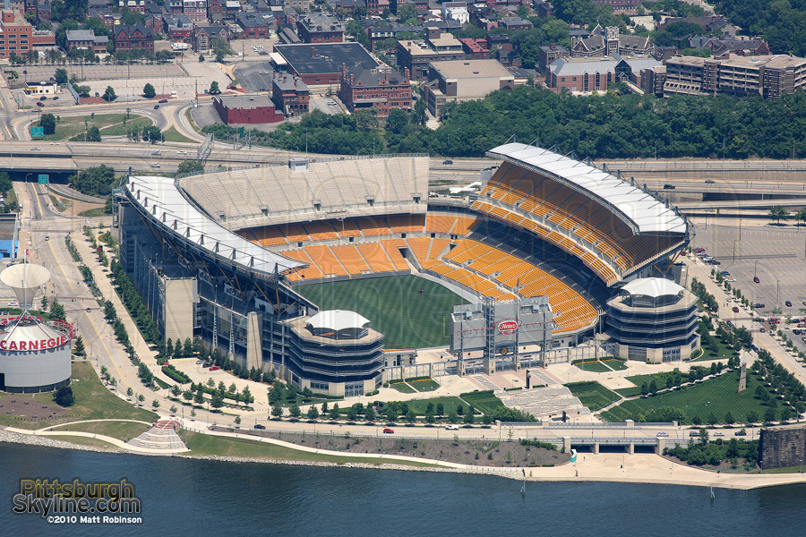
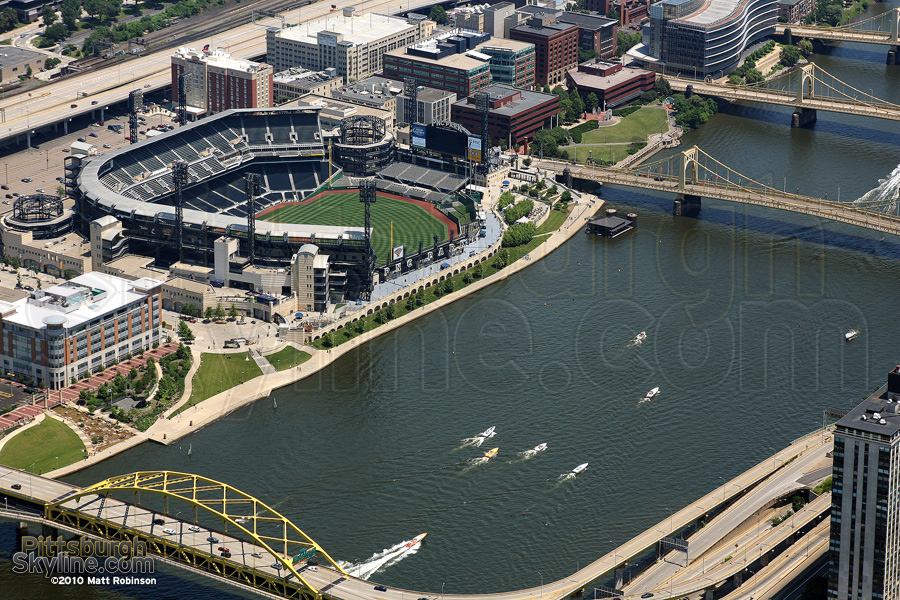
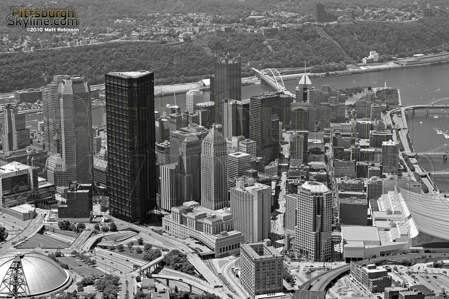
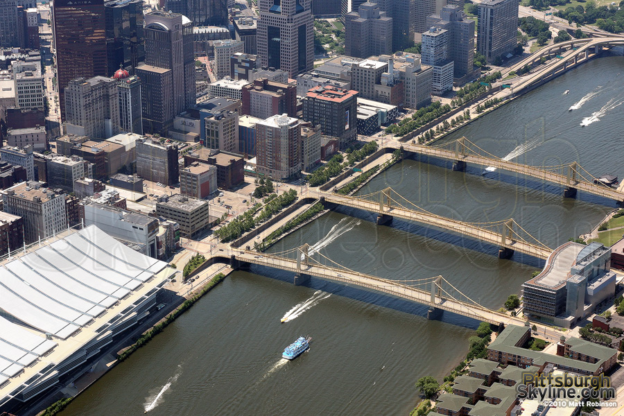
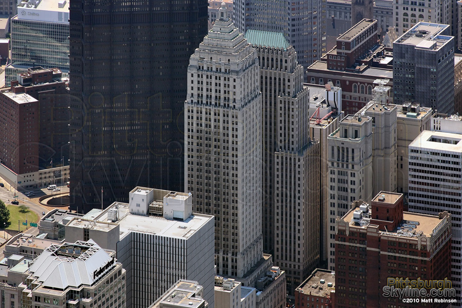
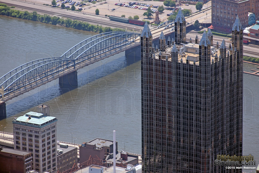

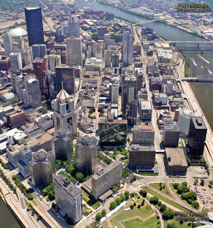
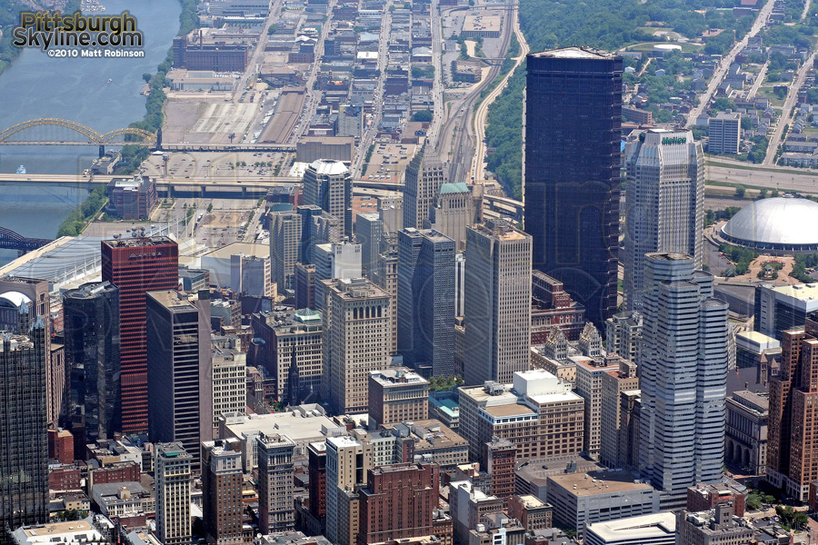

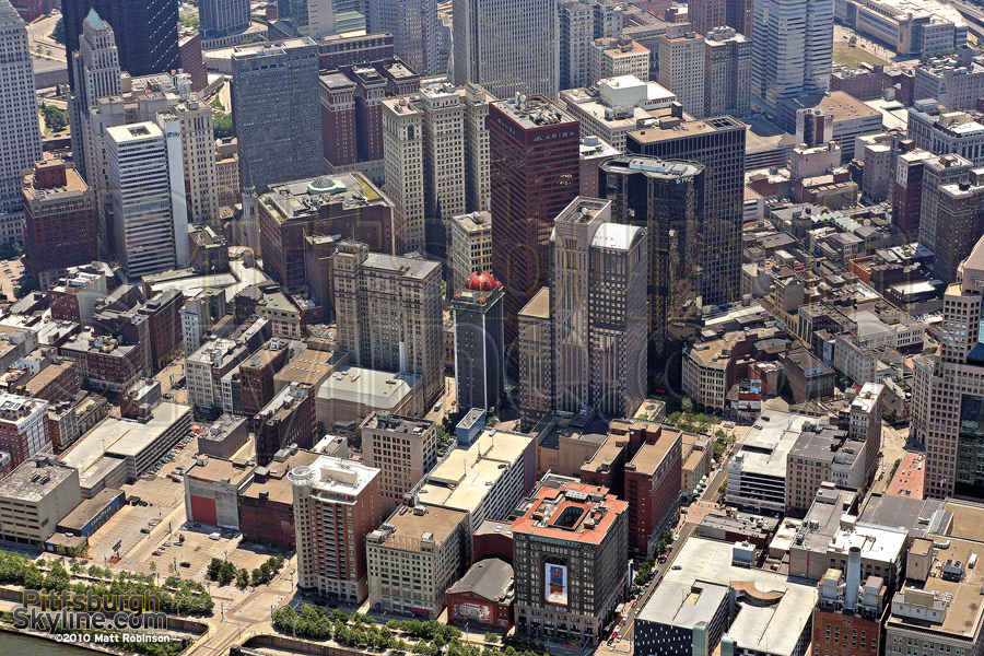
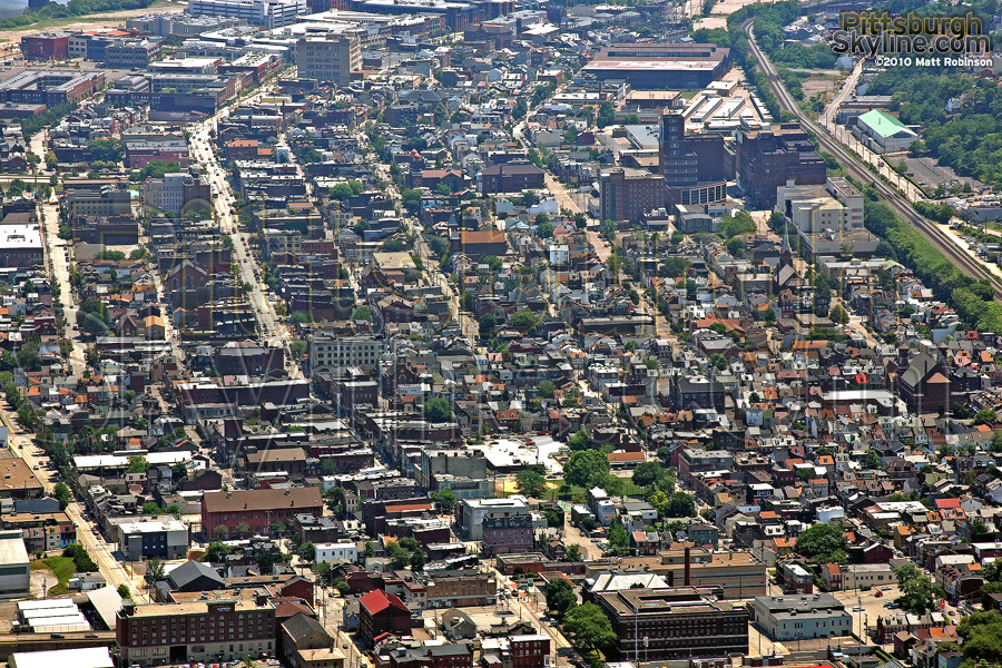
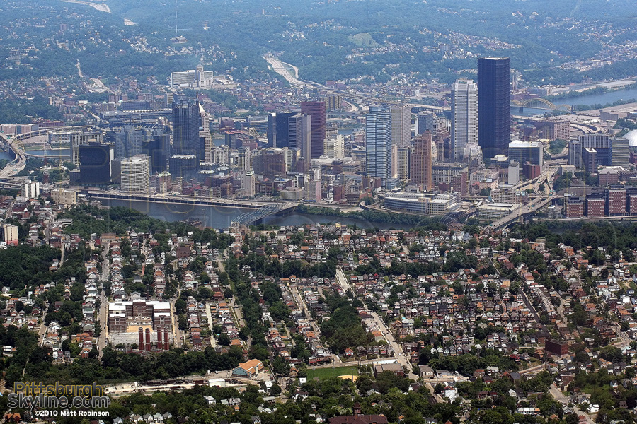
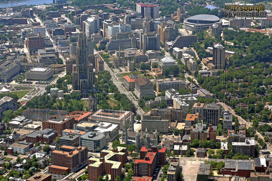

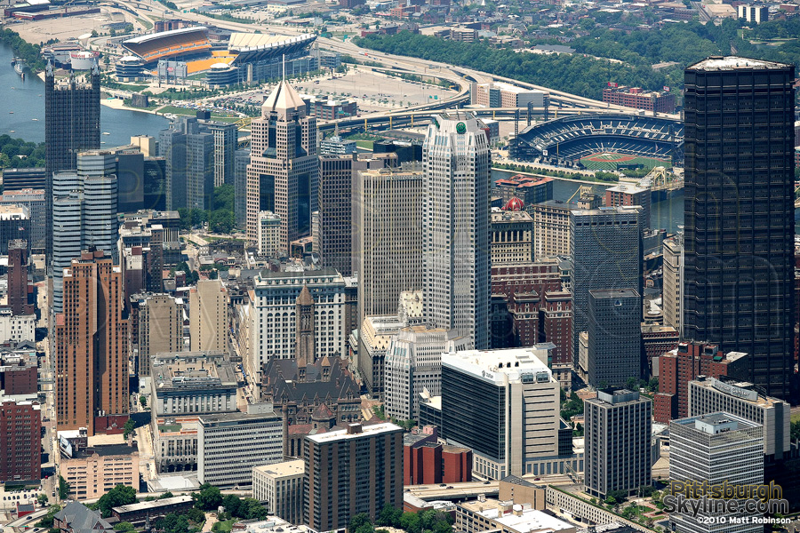
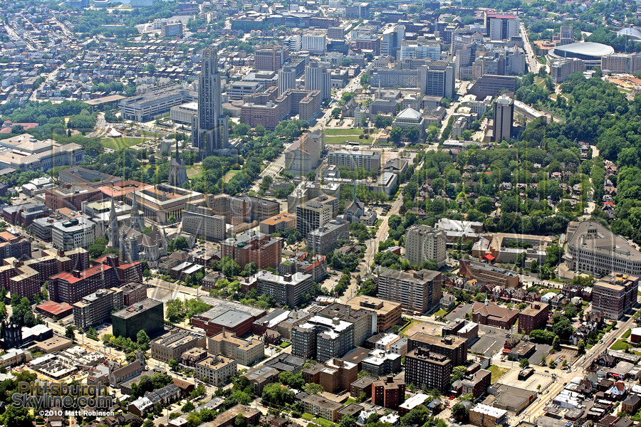
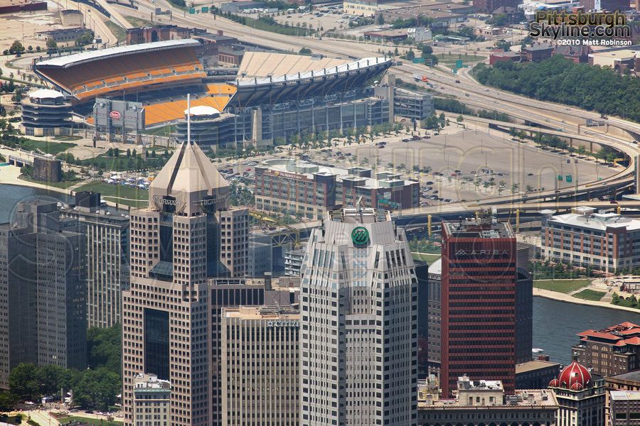

Downtown Pittsburgh Aerial Photographs
Want to use PittsburghSkyline.com photographs for commercial purposes? See the image licensing page.
For other cities I've photographed, visit MetroScenes.com or RaleighSkyline.com
For other cities I've photographed, visit MetroScenes.com or RaleighSkyline.com